Description
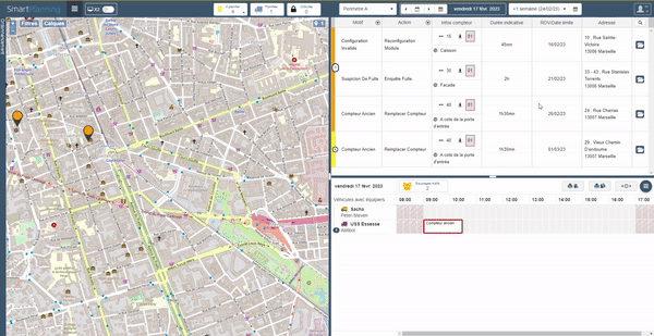
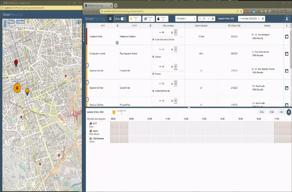
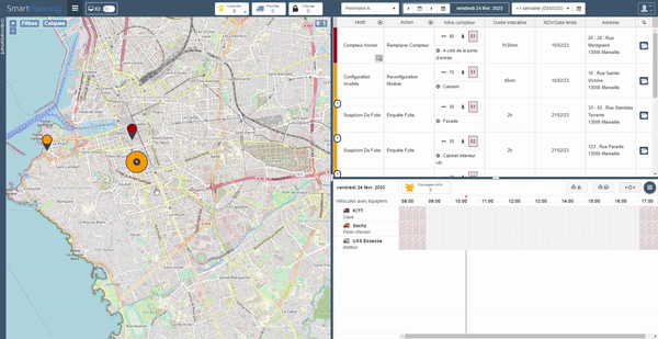
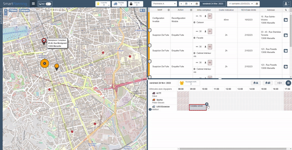
SmartPlanning is a solution for scheduling interventions for water and energy distributors as well as sanitation operators. With this application, schedulers can, after logging in, plan and assign interventions via a list and a map, track their progress, and manage the availability of resources allocated to these interventions.
Achievements
- Help in defining the need
- Integration of WMS map feeds from a GeoServer server on an OpenLayers map
- Integration of WFS map feeds from an Elyx Router server on an OpenLayers map
- Development of mapping tools (GPS position indicators, feeds selector, etc.)
- Development of a zoom functionality on interventions near another on an OpenLayers map
- Implementation of different ways to order interventions
- Development of a feature to search for interventions
- Improved data display (tooltips, design, etc.)
- Development of Kendo components (custom header, calendar, etc.)
- Development of a feature to split the planning view across two screens
- Code refactoring aimed at improving the solution's performance
- Interviews with new recruits